|
Data Used
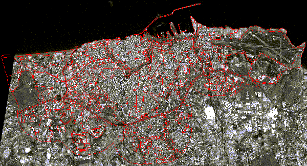
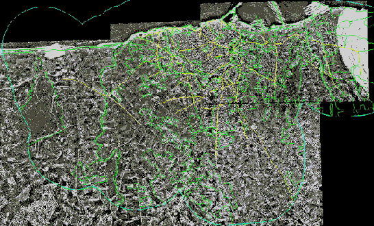
For the creation of the four land use databases for the task CHANGE of the Project, the following data is used:
Satellite image of
the IRS-1C Pan sensor for the city of Heraklion.
|
Mosaic of aerial
photographs for the city of Heraklion.
|
|