Results
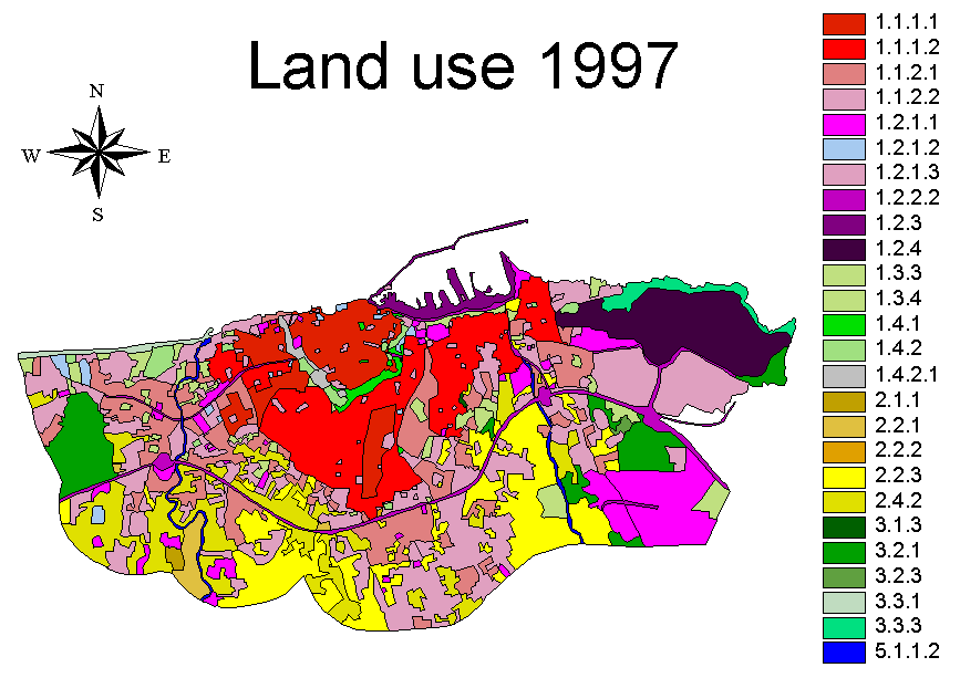
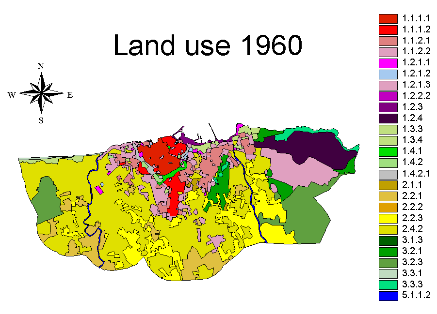
The final products of MURBANDY Project are vector databases presenting the land uses of urban and peri-urban areas for the selected cities for the four periods (year 1997, mid’ 80, end of ’60 and mid’ 50). The resulting maps have a scale of 1:25,000.

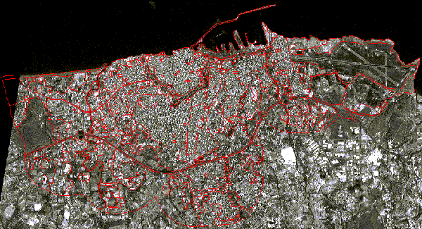
Figure 1: Satellite image of the IRS-1C Pan sensor for the city of Heraklion. Acquisition date: 1997
Source: KTIMATOLOGIO S.A., Greece (MURBANDY Project, CEO/JRC, http://www.ktimatologio.gr)

Figure 2: Land use map for the city of Heraklion. Date: 1997
Source: KTIMATOLOGIO S.A., Greece (MURBANDY Project, CEO/JRC, http://www.ktimatologio.gr)

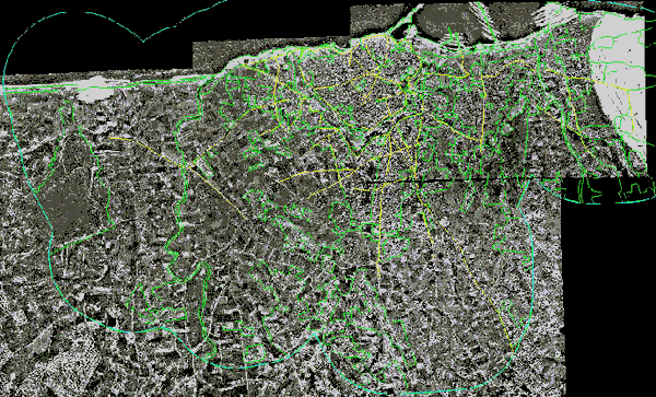
Figure 3: Mosaic of aerial photographs for the city of Heraklion. Acquisition date: 1960
Source: KTIMATOLOGIO S.A., Greece (MURBANDY Project, CEO/JRC, http://www.ktimatologio.gr)

Figure 4: Land use map for the city of Heraklion. Date: 1960
Source: KTIMATOLOGIO S.A., Greece (MURBANDY Project, CEO/JRC, http://www.ktimatologio.gr)