 |
|
![]()
![]()
We applied this method to extract potentiality maps for irrigation. We tested our method with several definitions of irrigated zones, by changing the expressions related to each premise in the knowledge:
| IF (Irrigated area) THEN | |||
| First knowledge: | (near hydrographic network:
very necessary) AND |
(less than 300m high:
very necessary) AND |
(near road:
very necessary) |
| Second knowledge: | (near hydrographic network:
very necessary) AND |
(less than 300m high:
very necessary) AND |
(near road:
very necessary) |
| Third knowledge: | (near hydrographic network :
highly inadequate) AND |
(less than 300m high:
highly inadequate) AND |
(near road : highly inadequate). |
Image 39: Application of the first knowledge for best
localization of "irrigated zone ":
IF (Irrigated area) THEN
(near hydrographic network: very necessary)
AND (less than 300m of height: very necessary)
AND (near road: very necessary).

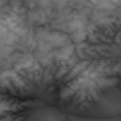
Actually, the resulting image is a set of points in the interval of [-1,+1], image 40 , image 41, image 42 are representations by classes. White regions are the most favourable zones to the corresponding definition, grey regions are less favourable, and so on.
Image 40: Application of the second
knowledge:
IF (Irrigated area) THEN
(near hydrographic network : totally necessary ) AND ( less
than 300m : very necessary ) AND ( near road : very necessary ).

Image 41: Application of
the third knowledge:
IF (Irrigated area) THEN
(near hydrographic network : highly inadequate) AND (less than
300m : highly inadequate) AND (near road : highly inadequate).
We can see from the resulting images, the changes of the patterns with modification of knowledge.