 |
|
![]()
Geographical Context
![]()
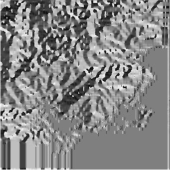
It is useful to have additional information to improve the classification
carried out on the satellite image. So, we use nine images describing the
geographical context of the area Palni.
It was built starting from the level lines of the topographic card of the area of Palni. Using the DEM, [Zehana, 1994] computed the slope steepness, the orientation of the slopes... All this information is very useful to help to characterize the vegetation, in particular for a mountainous area.
All these data (Figures 2 and 3):
are ``out-image'' data because they are not directly in the LANDSAT image, although they refer to this one.
The repetition of several lines to bottom of some images, and also on the right can be seen. These constructional defects are due to the cards of the area of Palni which did not cover unfortunately the whole LANDSAT image. Therefore it was necessary to extrapolate for the lines and columns missing.
![\begin{figure}\begin{center}\begin{tabular}{cc}\subfigure[Digital Elevation M......ope).]{\epsfbox{c4-palpenteprct.eps} } \\\end{tabular}\end{center}\end{figure}](img11.gif) |
![\begin{figure}\begin{center}\begin{tabular}{cc}\subfigure[Distance to valleys......rivers).]{\epsfbox{c4-palirrigation.eps} }\end{tabular}\end{center}\end{figure}](img12.gif) |
 |
These out-image data were used by [Desachy, 1991], [Zahzah, 1992], and [Mascarilla, 1996] in order to measure, for each pixel, the degree of realization of several rules provided by an expert photo-interpreter describing the most favourable geographical context to the presence of each studied class.
![]()
![]()
![]()
![]()
![]()
![]()
IRIT-UPS