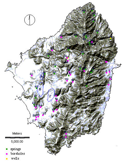
IDRISI, an image processing and GIS software package, was used to store
and process information in the form of maps or data-base tables. Thus all
information gathered, was combined in a single GIS system allowing the easy combination
and manipulation of remote sensed data along with existing geological and hydrological
data.
 Dr D. Rokos, I. Galanos