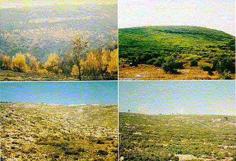
Thousands of hectares of forestlands are destroyed by fire every year in the northern
Mediterranean area. Some of the burned areas are able to generate themselves naturally in
a few years, but others not, whereby desert-like conditions may ensue. Re-planting would
be required to prevent desertification, but the countries affected cannot cope with
reforesting all the burned areas. Therefore, a ranking of the burned areas in order of
their risk of desertification is necessary, to allow targeting resources to those with the
highest risk of desertification.
|
Within this framework, the Phoenix project’s objective is the development of a
geographical information system that will monitor and predict the development of burned
areas, based on topographic, geologic, soil, vegetation, land use and other map data, as
well as satellite images.
|