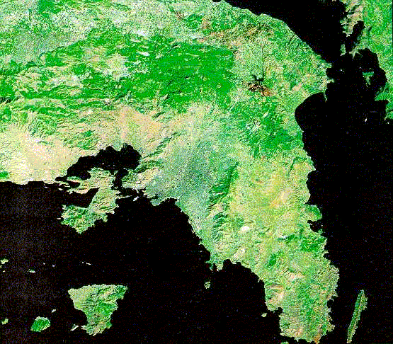
Study area: Attica, Greece
5,4,3 (R,G,B) colour composite of Landsat TM satellite image.
|
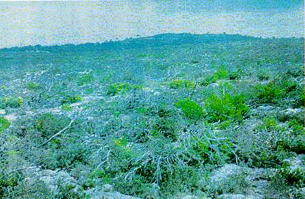
Four forest areas in the prefecture of Attica (Greece), which have been repeatedly burned
during recent years, were selected as specific study areas: the forest area of
Lavrio-Sounio (SE Attica), the Pendeli area (central Attica), the area of Barnavas (NE
Attica) and the area of Pateras (West Attica).
|