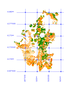
Results
GIS output risk maps:
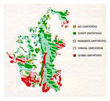
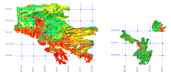
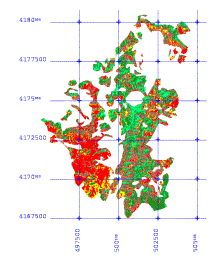
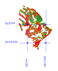
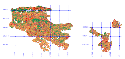
Potential for natural Regeneration for the study area of Lavrio
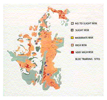
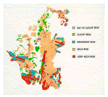
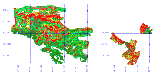
Risk of Soil Erosion for the study area of Lavrio Risk of Desertification for the study area of Lavrio
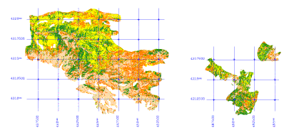
Image analysis output risk and vegetation maps:
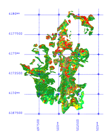
Barnabas
Pateras Pendeli
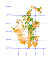
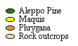
Lavrio
Natural regeneration potential maps for the four test areas
Soil erosion risk maps for the four test areas
Desertification risk maps for the four test areas
Vegetation maps for the four test areas
See also: “Post Fire Mapping of Typical Mediterranean Forest Areas Using Landsat TM Images. A Knowledge Based Approach for the Prediction of Forest Sustainability” and “The Use of Remote Sensing in the Evaluation of the Natural Regeneration Potential, Erosion Risk and Desertification Risk after Forest Fires”.